Driving Directions: About 2 miles south of the Ochlocknoee River, turn to the left (= east) off of US Highway 98 onto State Road 370 (= Alligator Road). Keep to the right to continue on Alligator Road as it turns to the right, at its intersection with the Bald Point Road on the left. Continue driving westward about 4 miles on Alligator Road to a small parking lot with beach access on the left (= south), just before a house at 1520 Alligator Road.
I always walk to the right (= west) from the beach access. This is the long sandy beach at low tide.

These willets have striking black and white bars on their wings that are visible only in flight; I've always thought their call sounds like, Will-it? Will-it? Will-it?


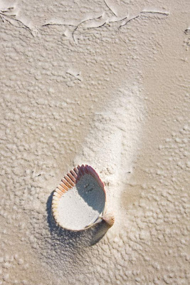
With the wind recently as strong as 30 miles per hour, many of the shells on the upper beach are elevated on sand pedestals. Here is a heart cockel.


nice work, bob. the fading birds and cockle are my favs.
ReplyDelete