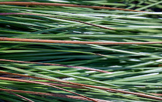
I hope you enjoy the 48 images of this post.
Optionally click on a photo for a larger view and slide show.
The locations where the images of this post were made include: Wakulla Springs State Park, Mashes Sands, Ochlockonee River State Park, Floodplain of the Ochlockonee River near the Forest Road 13 Bridge, Cascade Lake, Bice Road, Bottoms Road, and Carraway Cutoff.
 |
| This image begins a series in the Ochlockonee River State Park |
 |
This image begins a series of the floodplain of the Ochlockonee River
near the Forest Road 13 bridge |
 |
| This image begins a series in the Wakullla Springs State Park |
 |
| Reflections of trees in the spring basin |
 |
| Common Gallinule |
 |
| This image begins a series at Mashes Sands, Panacea, FL |
 |
This image begins a series in the Wakulla Springs State Park
Alligator underwater |
 |
This image begins a series in Cascades Lakes,
Tallahassee, FL during extremely low water |
 |
This image begins a series of along the shoreline
of a small unnamed pond beyond Bice Road
Apalachicola National Forest |
 |
| This image begins a series at Mashes Sands |
 |
| This image begins a series in the Wakulla Springs State Park |
 |
| Sunrise along Bottoms Road, Panacea, FL |
 |
This image begins a series along the FL Trail,
east of Carraway Cutoff |


No comments:
Post a Comment